Cartography is the science and art of creating, studying, and interpreting maps. Maps have been used for centuries to represent geographic features, political boundaries, and cultural aspects of regions and countries. Maps are essential tools for navigation, transportation, planning, and research. In this article, we will discuss the fundamentals of cartography, including its history, types, symbols, and tools.
History of Cartography
The history of cartography dates back to ancient civilizations such as Greece, Rome, and China. The Greeks were among the first to create maps of their known world, using various projection methods. On the other hand, the Romans created maps for military purposes, showing the location of their troops and enemies. In China, maps were used for navigation and trade. With the advancement of technology and exploration, cartography evolved and became more accurate and detailed.
Types of Maps
There are several types of maps, each serving a specific purpose. The most common types of maps include:
1. Political Maps: These maps show political boundaries such as countries, states, and cities.
2. Physical Maps: These maps show geographic features such as mountains, rivers, and deserts.
3. Topographic Maps: These maps show the elevation and contour of the land.
4. Climate Maps: These maps show the temperature and precipitation of a region.
5. Road Maps: These maps show the road network of a region or country.
Symbols on Maps
Maps use symbols to represent various features and elements. For example, a blue line on a map represents a river, while a black line represents a road. Symbols are essential in creating a clear and easy-to-read map.
The use of symbols is standardized, meaning that a particular symbol represents the same thing on different maps. The International Organization for Standardization (ISO) has established the standard symbols used in maps worldwide.
Tools Used in Cartography
Cartographers use various tools to create maps. These tools range from traditional to modern technology. Some conventional tools include compasses, protractors, rulers, and pencils. These tools are used to draw precise lines, angles, and projections.
Nowadays, computers and software are used to create digital maps. Geographic Information Systems (GIS) are used to create, analyze, and interpret spatial data. These systems allow cartographers to create maps with great accuracy and detail.
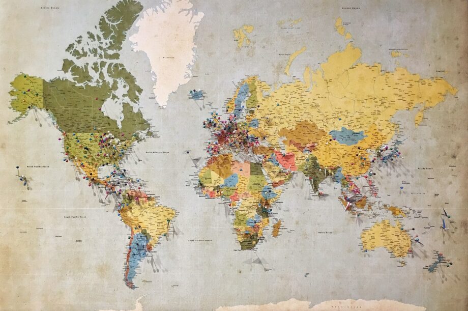
Map Online Store
Maps are essential for many industries, including tourism, transportation, and emergency services. Maps are also popular among collectors and enthusiasts.
A map online store offers many maps, including antique, vintage, and modern maps. These stores provide maps for different purposes, including academic research, decoration, and navigation. They also offer customization services, allowing customers to create personalized maps.
Conclusion
Cartography is a science and art that involves the creation and interpretation of maps. Maps are essential tools for navigation, transportation, planning, and research. Cartography has a rich history dating back to ancient civilizations such as Greece, Rome, and China.
There are several types of maps, each serving a specific purpose, including political, physical, topographic, climate, and road maps. Symbols are used on maps to represent various features and elements. Cartographers use multiple tools to create maps, including traditional tools such as compasses and pencils and modern technology such as GIS.
Map online stores offer a wide range of maps for different purposes, including academic research, decoration, and navigation. With the advancement of technology, cartography continues to evolve and become more accurate and detailed.
Maps of Iceland is a map online store that offers map prints and framed map posters with various maps from Iceland and other countries. Browse our store today to find the perfect map for your needs. Whether you are planning a trip, studying the geography of a country, or simply want to decorate your home or office with a beautiful map, Maps of Iceland has something for everyone.