For centuries, nautical maps have been the linchpin of maritime exploration, navigation, and commerce, guiding sailors through vast oceans and treacherous waters. These intricate charts not only serve a vital practical purpose but also possess aesthetic qualities that have captivated the imagination of cartography enthusiasts for generations. With the perfect blend of science, history, and design, nautical maps tell the stories of human endeavor and progress, showcasing humanity’s connection to the vast and mysterious world beneath the waves. At the Maps of Iceland Shop, you can discover a remarkable collection of nautical map art, highlighting the intricate beauty of these cartographic creations while providing a unique and informative decor option for your home or office.
In this blog post, we set sail on a fascinating journey through the world of nautical maps, exploring their storied history, the methodologies behind their creation, and the captivating aesthetics that make them desirable as art pieces. We will showcase the mesmerizing selection of nautical map art available at the Maps of Iceland Shop, highlighting the elegance and detail of their designs, which celebrate the marriage of form and function in these remarkable cartographic creations. Additionally, we will inspire you with various decor ideas for incorporating nautical map art into your living spaces, creating enchanting and engaging environments that pay homage to humanity’s enduring relationship with the sea.
Join us as we navigate the captivating and historic world of nautical maps and chart the course for an unforgettable exploration of the artistry and significance of these essential maritime tools, as seen through the visually stunning and informative nautical map art collection at the Maps of Iceland Shop.
Riding the Waves of Time: The History and Development of Nautical Maps
Embark on a captivating voyage through the history and evolution of nautical maps, discovering their origins, advancements, and impact on maritime exploration and navigation.
1. The Beginning: Ancient Origins and Portolan Chart
Unearth the origins and early developments of nautical maps, tracing their beginnings in ancient seafaring civilizations and the emergence of the iconic portolan charts.
2. New World, New Challenges: Nautical Maps of the Age of Exploration
Examine the importance and innovation of nautical maps during the Age of Exploration, as cartographers and navigators sought to chart ever-expanding horizons.
3. Modern Marvels: Contemporary Advancements in Nautical Mapping
Explore the modern advancements and innovations in nautical mapping technology, including satellite imagery, GPS, digital cartography, and more.
Deep Dive into Navigation: The Science and Practical Aspects of Nautical Maps
Delve into the science and practical aspects of nautical maps, uncovering their essential methodologies and components that facilitate safe and efficient maritime navigation.
1. Understanding Latitude and Longitude
Gain insight into the basis of navigational positioning through the concepts of latitude and longitude, and learn how these elements are skillfully incorporated into nautical maps.
2. Charting Depths: Bathymetry and Hydrography
Discover the significance of bathymetry and hydrography in the creation of nautical maps, as they provide vital information about ocean depths, seabed features, and underwater hazards.
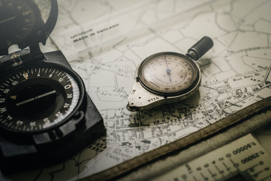
3. Symbols, Scales, and Compass Roses: The Language of Nautical Maps
Learn to decipher the visual language of nautical maps, from symbols and scales to compass roses and cartouches, as you unlock the vital navigational information hidden within their intricate designs.
Unfurling the Artistry: The Aesthetics and Visual Elements of Nautical Maps
Appreciate the captivating aesthetics and visual elements of nautical maps, as we discuss their unique design components and artistic features that make them desirable as art pieces.
1. Striking Coastlines: The Artful Depiction of Coastal Features
Admire the skillful and artistic portrayal of coastal features in nautical maps, from jagged cliffs and sandy beaches to picturesque harbors and towering lighthouses.
2. Oceanic Palettes: Color and Design in Nautical Maps
Explore the use of color, shading, and design elements in nautical maps, as they artfully convey navigational information and enhance the aesthetic appeal of these cartographic creations.
3. The Beauty Within: Artful Insets, Vignettes, and Cartouches
Discover the ornate and artful insets, vignettes, and cartouches that adorn many nautical maps, providing both decorative embellishments and supplementary navigational information.
Anchored in Elegance: The Maps of Iceland Shop’s Nautical Map Art Collection
Discover the alluring collection of nautical map art available at the Maps of Iceland Shop, featuring a breathtaking array of designs that showcase the artful heritage of maritime cartography.
1. Icelandic Seascapes: Nautical Wonders Surrounding the Land of Fire and Ice
Uncover the mesmerizing beauty of Iceland’s oceanic landscape through nautical map art, highlighting the country’s dramatic coastline and surrounding seas.
2. Sailing the Globe: A Worldwide Showcase of Nautical Map Art
Embark on a global odyssey with the Maps of Iceland Shop’s nautical map art collection, featuring striking designs that encompass some of the world’s most noteworthy waterways, coasts, and maritime landmarks.
3. Personalized Charts: Custom Nautical Map Art to Tell Your Maritime Story
Create a unique and personal work of cartographic art with the Maps of Iceland Shop’s custom nautical map art offerings, combining nautical chart information with your own personalized touches.
Conclusion
Nautical maps hold a special place in the annals of cartography, as they have navigated the course of human history across vast oceans and treacherous waters. These intricate charts not only serve a vital practical purpose for maritime travel but also showcase the artistry and skill that make them captivating pieces of art. The Maps of Iceland Shop’s collection of nautical map art offers a striking testament to this heritage, inviting you to explore the depths of history, science, and artistry through their visually stunning designs. As you incorporate these unique and informative pieces into your living spaces, you create a lasting connection to the age-old traditions of maritime exploration and navigation, and celebrate humanity’s enduring relationship with the sea.
Get your hands on the best Iceland maps at Maps of Iceland online store! Explore the stunning beauty of Iceland through our wide range of map prints and framed posters. Order now and enjoy free worldwide shipping on all Iceland maps at Maps of Iceland!