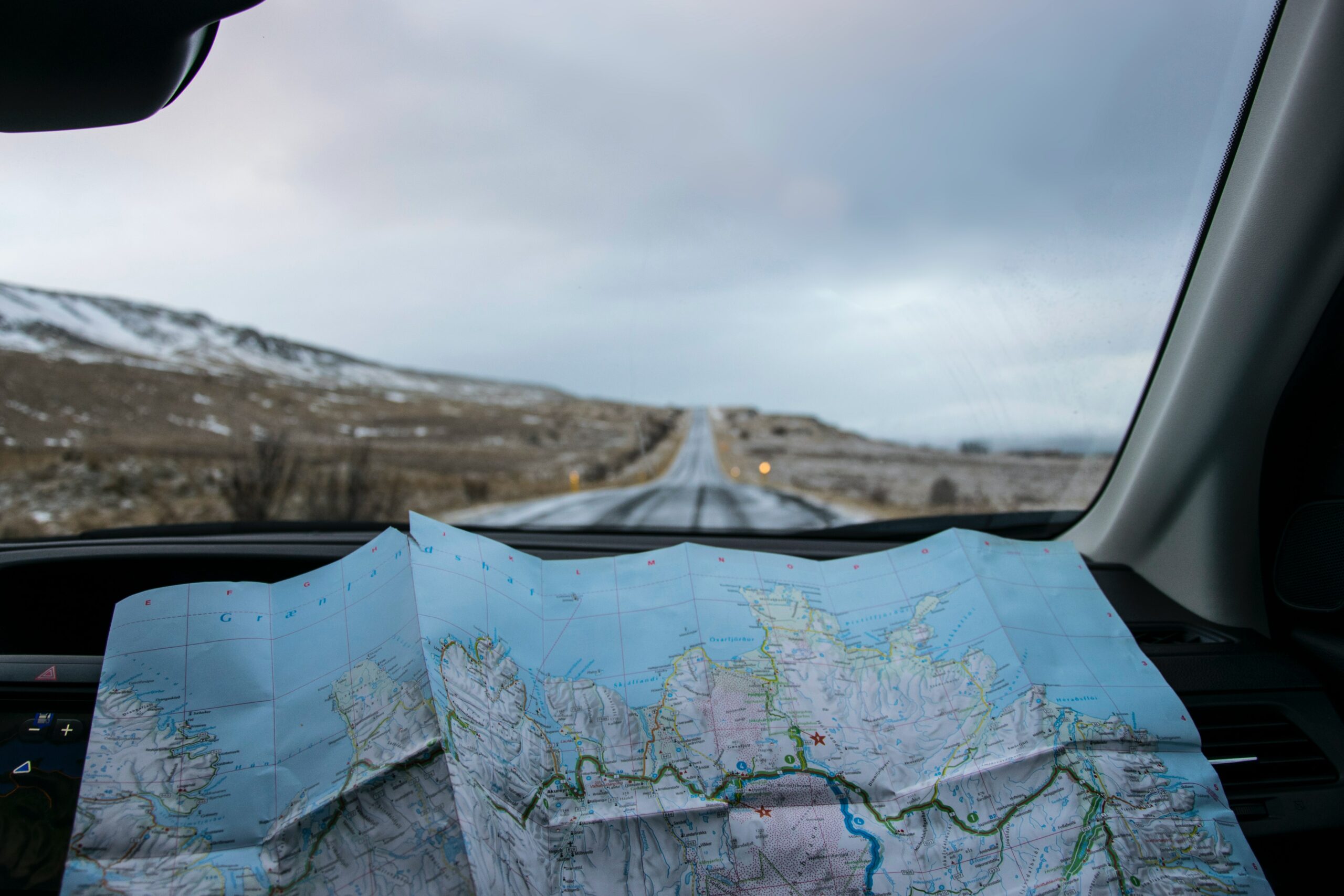
Maps are an essential tool for navigation, but they are also a work of art. Cartography is the science and art of making maps. It involves the study of geographical […]
Author: snorrithor
Map Magic: Discover Fascinating Map Applications
We all know that maps are essential for navigation and geographic understanding, but have you ever considered how they can be used beyond their traditional purpose? Over the years, people […]
Understanding Shaded Relief Maps: What You Need to Know
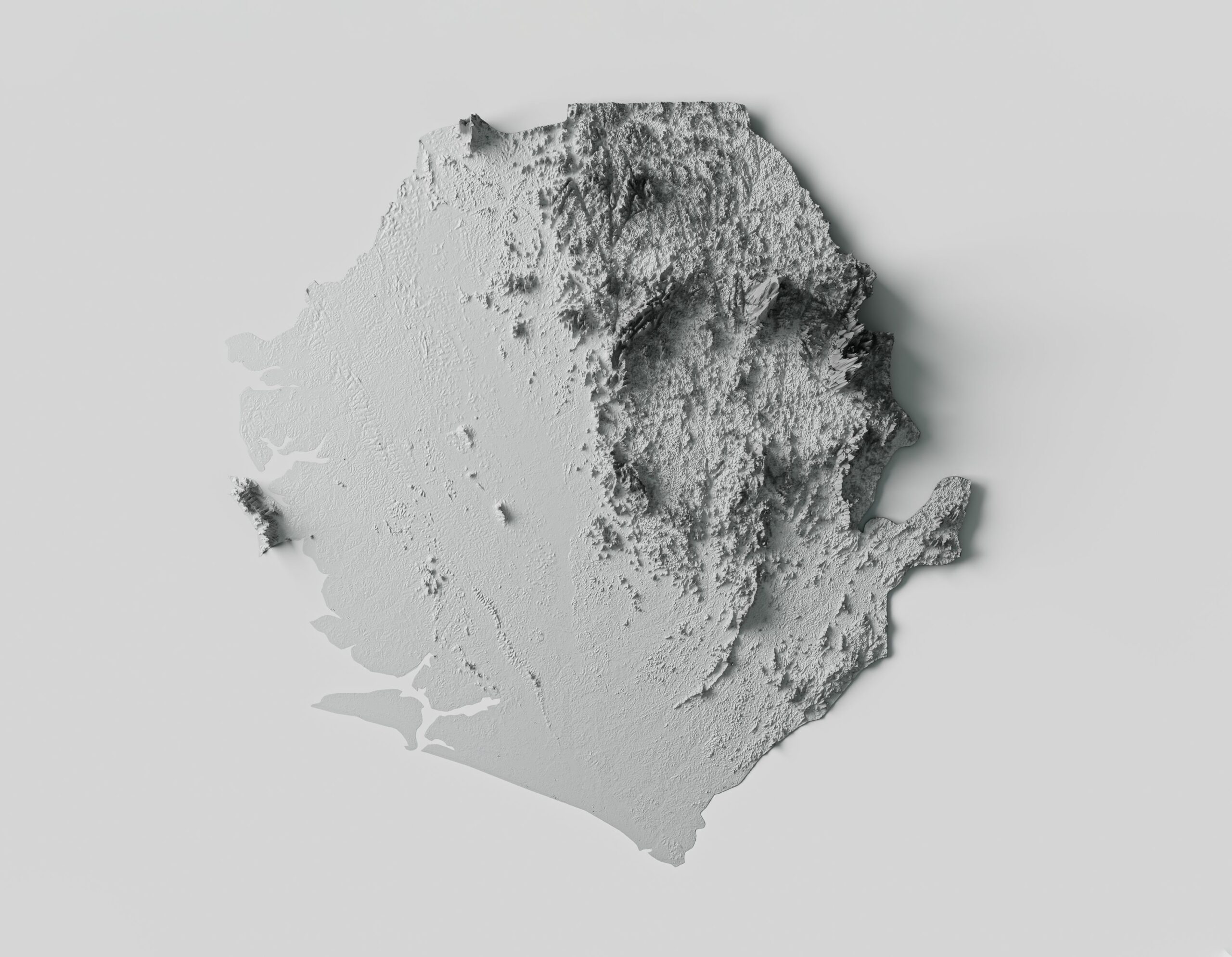
Shaded relief maps are topographical maps that use a combination of light and shadow to represent the three-dimensional surface of the earth. These maps are an essential tool for geographers, […]
Mastering Cartography: 5 Key Elements of a Good Map
Cartography is the art and science of map-making, a skill that has been honed over centuries to help us understand and navigate our world. Good maps are not just visually […]
What Map Projections Reveal About Your Perception of the World
For centuries, cartographers have attempted to create accurate representations of our spherical Earth on two-dimensional surfaces. While many of us are familiar with the traditional Mercator projection, there are countless […]
Antique Maps of Iceland: Understanding the Past and Present
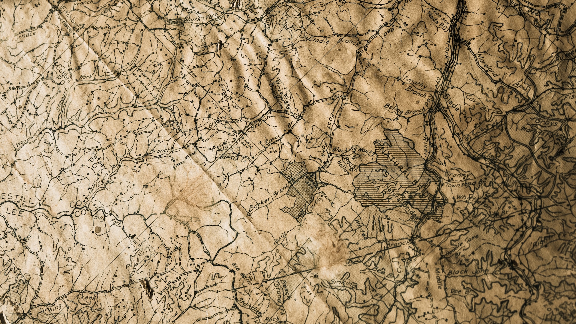
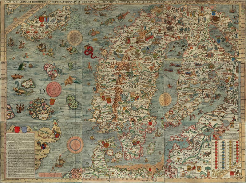
Iceland has a rich history and culture; vintage maps can provide valuable insights into its past. These maps offer a glimpse into how Iceland was perceived and understood by early […]
5 Key Factors That Affect the Overall Value of Maps
Maps are essential tools that are used for various reasons, including navigation, research, education, planning, and more. They provide a visual representation of the world and help people understand the […]
The Evolution of Maps and Their Role in Modern Education
Maps have been essential for navigation, exploration, and understanding of geographical locations for centuries. However, the use of maps has evolved beyond just navigation and exploration. In modern times, maps […]
History of Cartography in Iceland
The first maps of Iceland Oldest among the maps on which Iceland is shown is the Anglo-Saxon map, which is believed to have been made somewhere around the year 1000. […]
