Maps have been essential for navigation, exploration, and understanding of geographical locations for centuries. However, the use of maps has evolved beyond just navigation and exploration. In modern times, maps have become an integral part of education, helping students to visualize complex geographical data and develop critical thinking skills. In this article, we will explore five ways in which maps can be used in education.
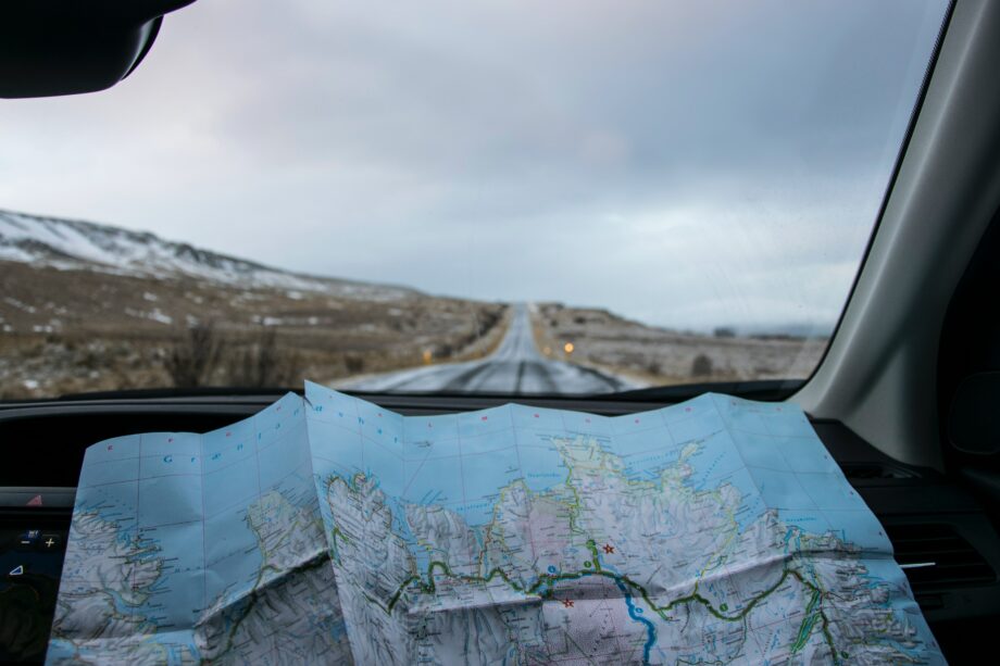
Maps of Iceland
Maps are a visual representation of the world, and they help students develop spatial thinking skills. Spatial thinking is the ability to visualise objects in 3D space and understand the relationships between them. Maps can help students develop these skills by allowing them to visualise geographical features, the relationship between different locations, and how they are interconnected. For example, by looking at a map of the United States, students can see how different states are connected by rivers, roads, and railways.
Understanding Historical Events
Maps are not just useful for understanding geography but can also help students understand historical events. Historical maps can show how the world looked in the past, how borders have changed, and how different civilisations have interacted with each other. For example, a map of Europe during World War II can help students understand how different countries were involved, the different battles fought, and the eventual outcome.
Encouraging Critical Thinking
Maps can be a great tool for encouraging critical thinking skills. Teachers can use maps to pose questions that require students to analyse and interpret data. For instance, teachers can use maps to teach students about climate change, population density, and natural disasters. Students can analyse the data on the map and draw conclusions about the causes and effects of these phenomena. This type of analysis helps students to develop critical thinking skills and encourages them to think deeply about complex issues.
Fostering Collaboration
Maps can be used to foster collaboration and teamwork among students. Teachers can assign group projects requiring students to work together to create maps. For example, students can work together to create a map of their school, highlighting important locations such as the library, cafeteria, and gym. This type of collaborative learning encourages students to work together, share ideas, and develop their communication skills.
Visualising Data
Maps can be a powerful tool for visualising data. Teachers can use maps to display data sets such as population density, climate change, and natural resources. By using different colours, symbols, and shapes, teachers can help students understand complex data sets. For example, a map of the world can show the number of people living in different countries. This type of visualisation can help students understand the significance of certain data sets and encourage them to think critically about the world around them.
Conclusion
Maps are a versatile tool that can be used to enhance spatial thinking, encourage critical thinking, foster collaboration, and visualise data. Maps can help students understand complex geographical and historical concepts and visualise data sets. By incorporating maps into their lesson plans, teachers can engage students and encourage them to think critically about the world around them. With the help of modern technology, maps have become even more accessible and interactive, making them a valuable tool in education.
Looking for detailed and accurate Maps of Iceland? Look no further than our online map store! Our collection includes everything you need to explore this beautiful country, from detailed road maps to topographical maps of its stunning natural landscapes. Shop yours today!