


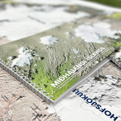
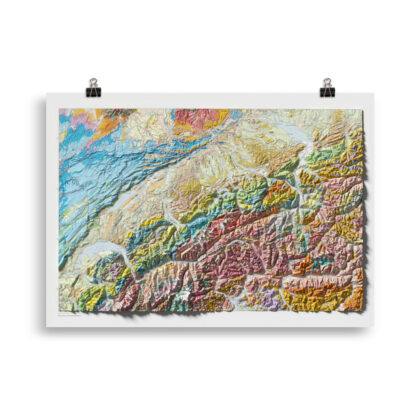
Mediterranean – Shaded Relief Satellite Map
We’ve created this map with the visual illusion of 3D by applying modern day Digital Elevation Data and meticulously adding shaded relief to the landscape of the satellite photo. Other information displayed on the map includes borders, country names, names of major cities, mountain ranges and area names. The shading is printed on the paper and not a result of the map protruding from the surface.
Elevation Data: European Space Agency/Copernicus Global Digital Elevation Model
Map Data: Natural EarthData
Satellite Image: ESRI
This Shaded Relief Satellite Map of the Mediterranean is available in 2 different sizes: 100×70 cm and 70×50 cm.
Follow us on Instagram and Facebook to see our latest maps and works in progress
See more of our maps from around the world here
• Paper thickness: 0.26 mm (10.3 mil)
• Paper weight: 189 g/m² (5.57 oz/y²)
• Opacity: 94%
• ISO brightness: 104%
• Giclée printing quality
• Blank product sourced from Japan
This product is made especially for you as soon as you place an order, which is why it takes us a bit longer to deliver it to you. Making products on demand instead of in bulk helps reduce overproduction, so thank you for making thoughtful purchasing decisions!
Reviews
There are no reviews yet.