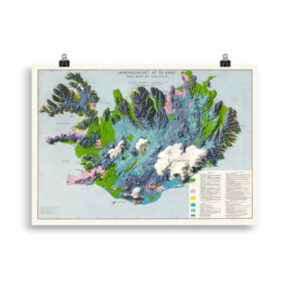
Iceland Shaded Relief Map
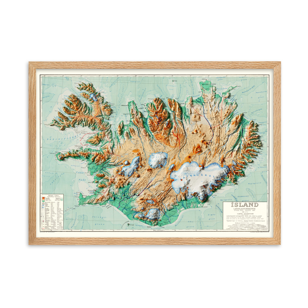
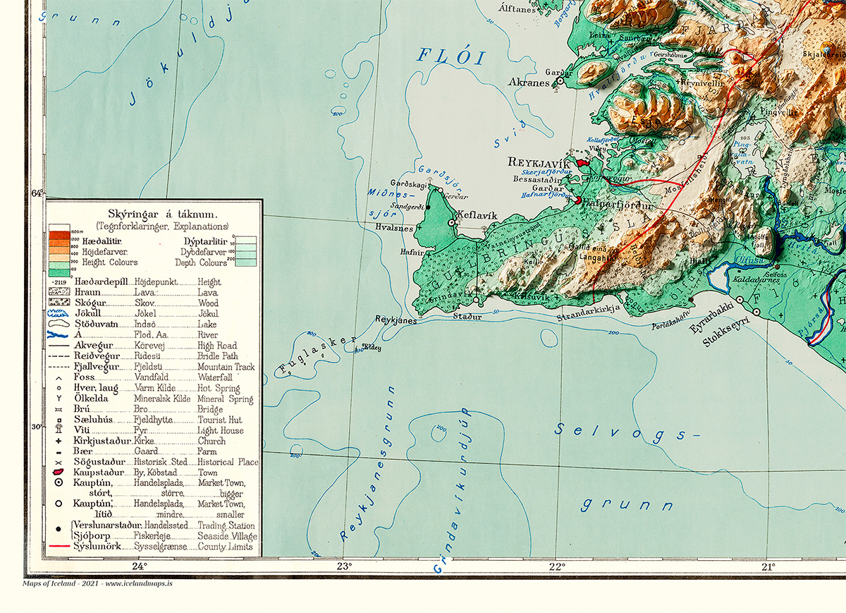
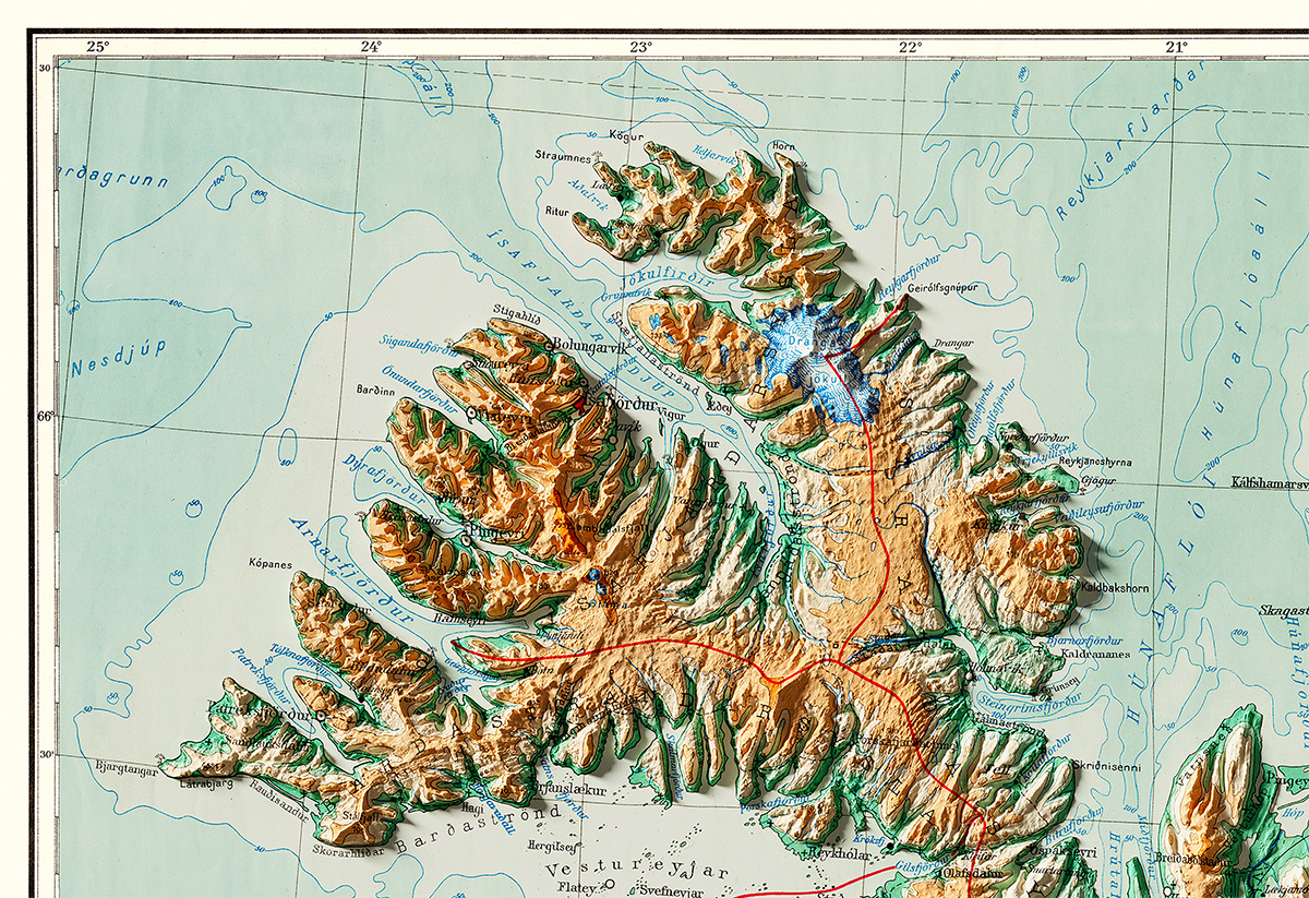
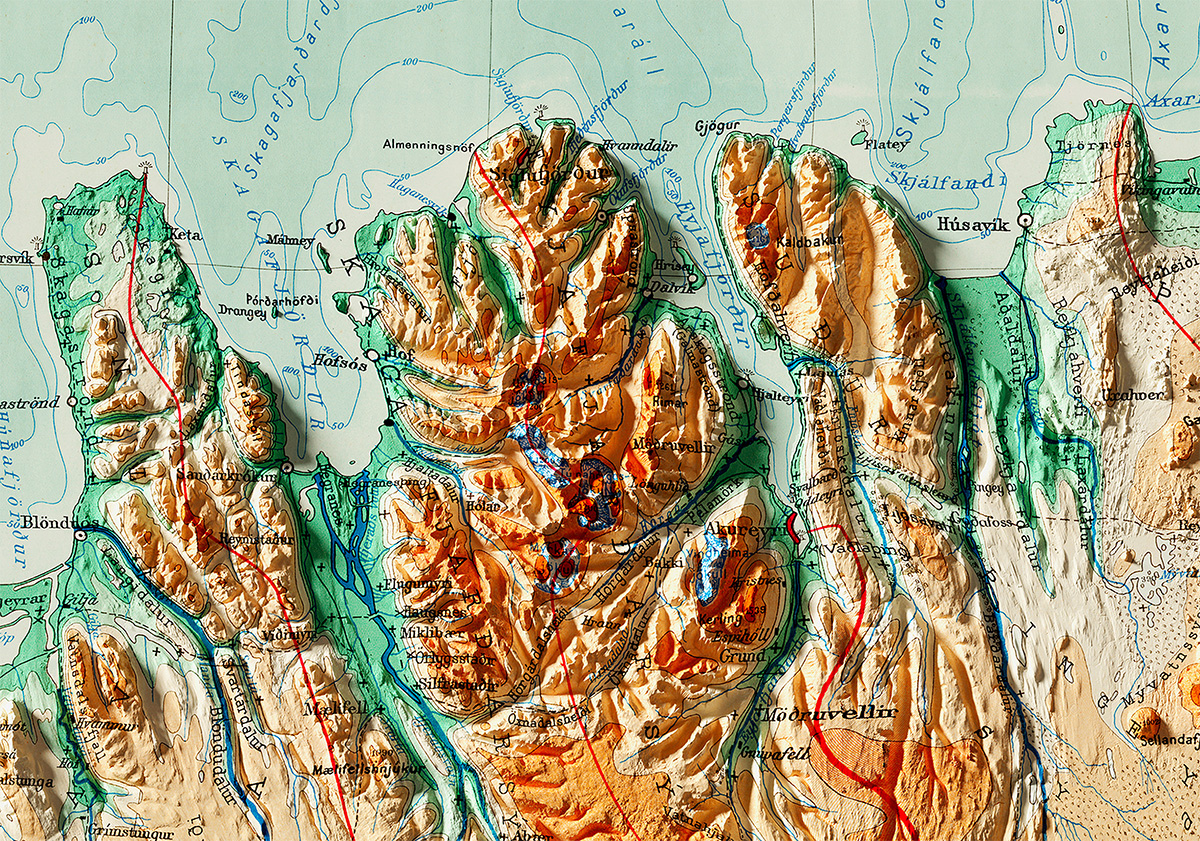
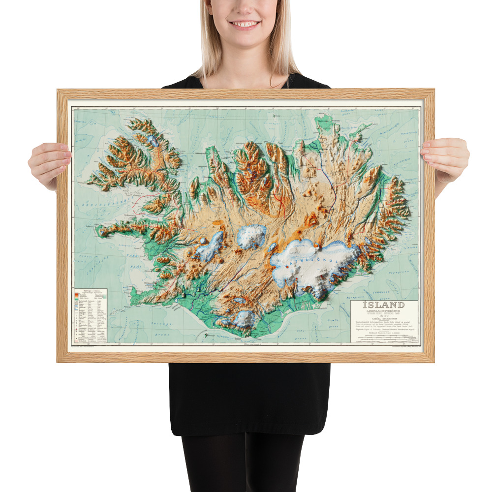
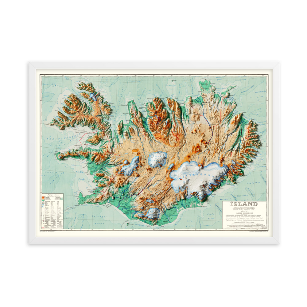
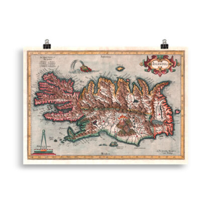
Antique map, combined with Digital Elevation Data to produce shaded relief to create the illusion of 3D. The shading is printed on the paper and not a result of the map protruding from the surface.
Please Note: Text and place names on this Iceland Shaded Relief Map can be difficult to read due to font size, shaded relief covering some of the text, and the age of the original map – we suggest the larger size map if you would like better legibility.
Follow us on Instagram and Facebook to see our latest maps and works in progress
See more of our various types of Iceland maps here
Author of original map: Samúel Eggertsson
Country: Denmark
Publication year: 1928
Scale: 1.500 000
Shaded relief version: Maps of Iceland
This topographic map of Iceland was published in 1928, illustrated by an Icelandic artist by the name of Samúel Eggertsson. Samúel was a schoolteacher and illustrator that made several well known maps and map themed illustrations, i.e. diagrams of where the settlers of Iceland came from, diagrams of Icelandic mountains and rivers, diagrams of ocean currents around Iceland, as well as illustrating portraits of famous Icelandic poets.
In the years 1909-1919 Samúel spent the majority of his time surveying and mapping various parts of Iceland for private companies, the church, and the government. This beautifully colored topographic map was commissioned by the Association of Icelandic Schoolteachers and published in 1928, primarly meant for use in schools all around the country.
This raised relief version of the map is designed by Maps of Iceland (www.mapsoficeland.shop)
• Paper weight: 189 g/m² (5.57 oz/y²)
• 0.26 mm (10.3 mil) thick
• Black and white frame made from semi-hardwood alder
• Oak frame made from solid oak
• Acrylite front protector
• Hanging hardware included


Reviews
There are no reviews yet.