


-70x100-cm-product-details-61f11411004c8")
Eyjafjörður map poster
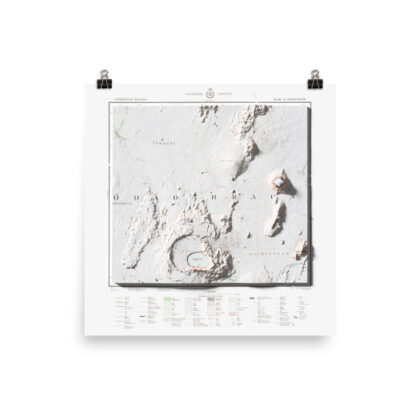
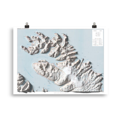
Map of Eyjafjörður, Tröllaskagi and surrounding areas, on the North Coast of Iceland.
Antique map, combined with Digital Elevation Data to produce shaded relief to create the illusion of 3D. The shading is printed on the paper and not a result of the map protruding from the surface.
Please Note: Text and place names on this Iceland Shaded Relief Map can be difficult to read due to font size, shaded relief covering some of the text, and the age of the original map – we suggest the larger size map if you would like better legibility.
Are looking for the perfect gift or souvenir from Iceland? Any travel enthusiast’s collec
Follow us on Instagram and Facebook to see our latest maps and works in progress
See more of our various types of Iceland maps here
See more of our area maps from Iceland here
• Paper thickness: 0.26 mm (10.3 mil)
• Paper weight: 189 g/m² (5.57 oz/y²)
• Opacity: 94%
• ISO brightness: 104%
• Giclée printing quality
Reviews
There are no reviews yet.