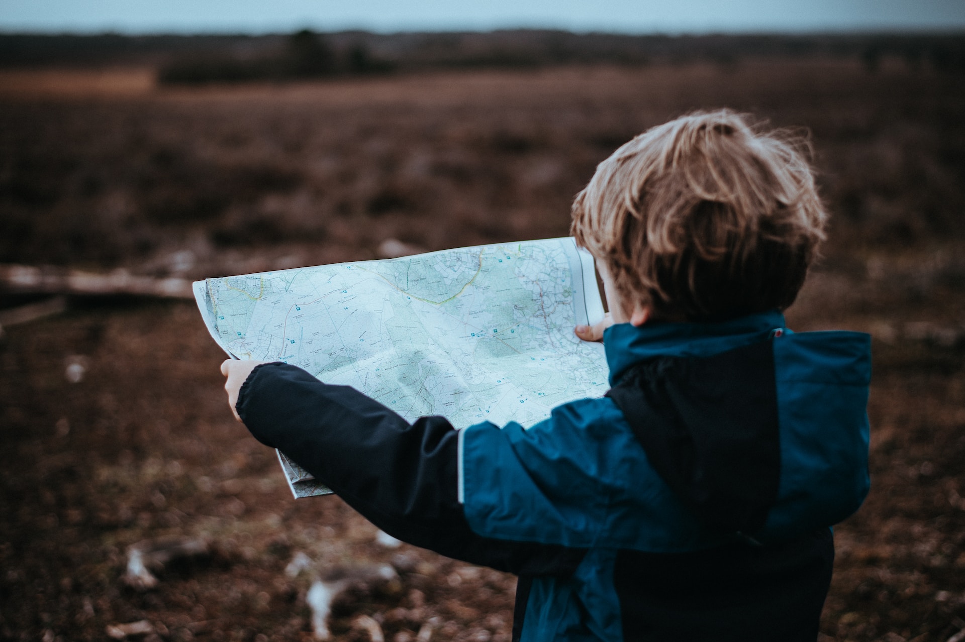
We all know that maps are essential for navigation and geographic understanding, but have you ever considered how they can be used beyond their traditional purpose? Over the years, people […]
Category: Blogs and Media
Understanding Shaded Relief Maps: What You Need to Know
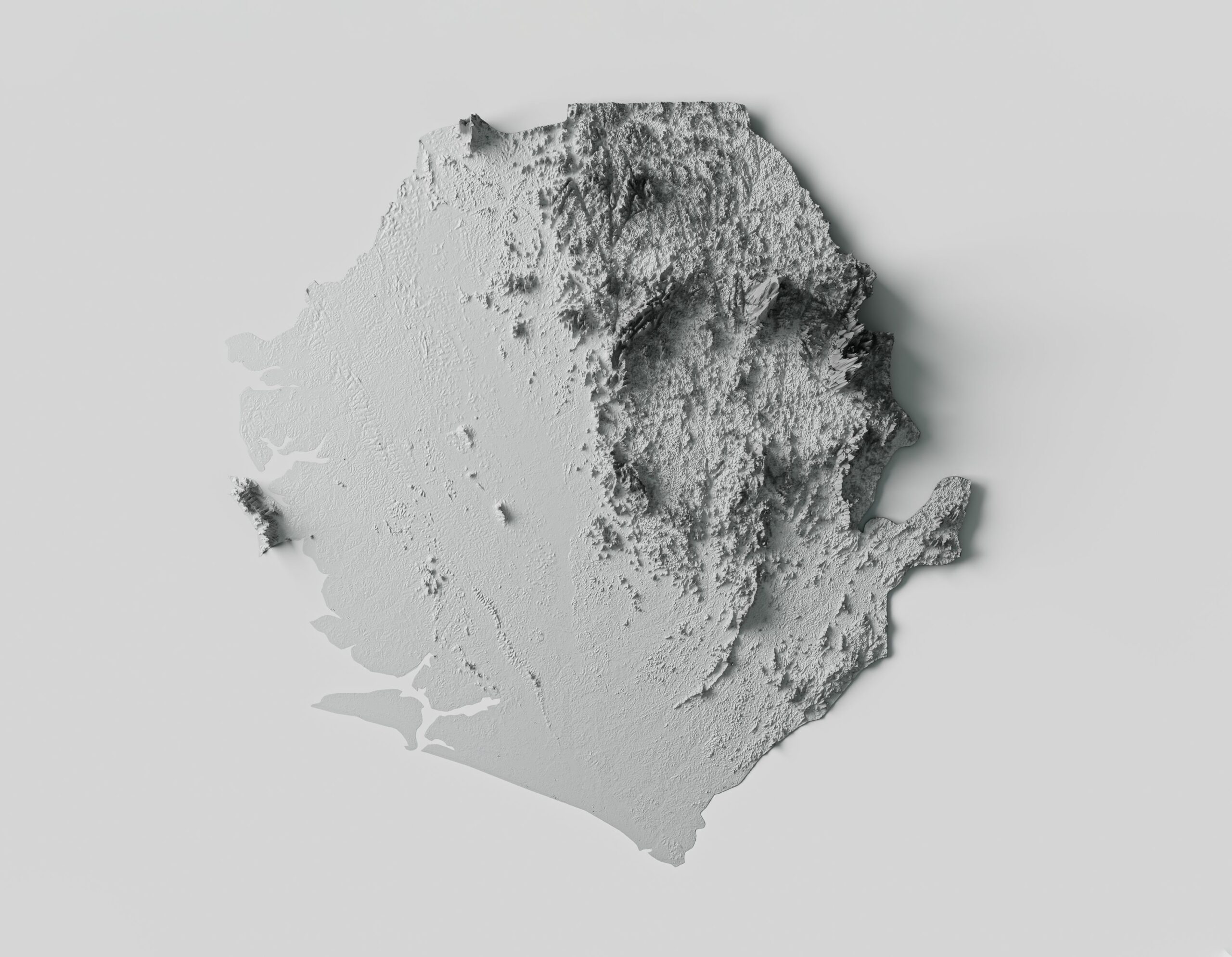
Shaded relief maps are topographical maps that use a combination of light and shadow to represent the three-dimensional surface of the earth. These maps are an essential tool for geographers, […]
Mastering Cartography: 5 Key Elements of a Good Map
Cartography is the art and science of map-making, a skill that has been honed over centuries to help us understand and navigate our world. Good maps are not just visually […]
What Map Projections Reveal About Your Perception of the World
For centuries, cartographers have attempted to create accurate representations of our spherical Earth on two-dimensional surfaces. While many of us are familiar with the traditional Mercator projection, there are countless […]
Antique Maps of Iceland: Understanding the Past and Present
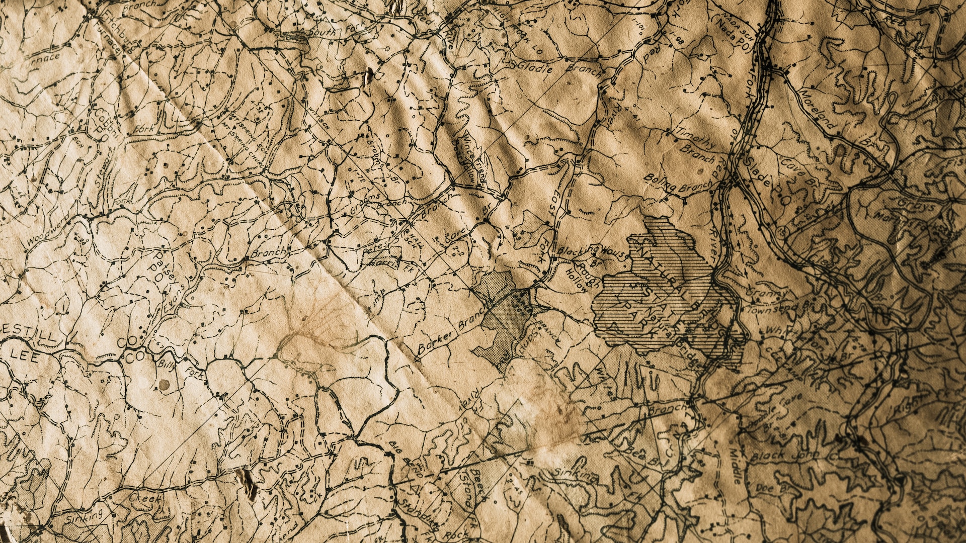
Iceland has a rich history and culture; vintage maps can provide valuable insights into its past. These maps offer a glimpse into how Iceland was perceived and understood by early […]
5 Key Factors That Affect the Overall Value of Maps
Maps are essential tools that are used for various reasons, including navigation, research, education, planning, and more. They provide a visual representation of the world and help people understand the […]


