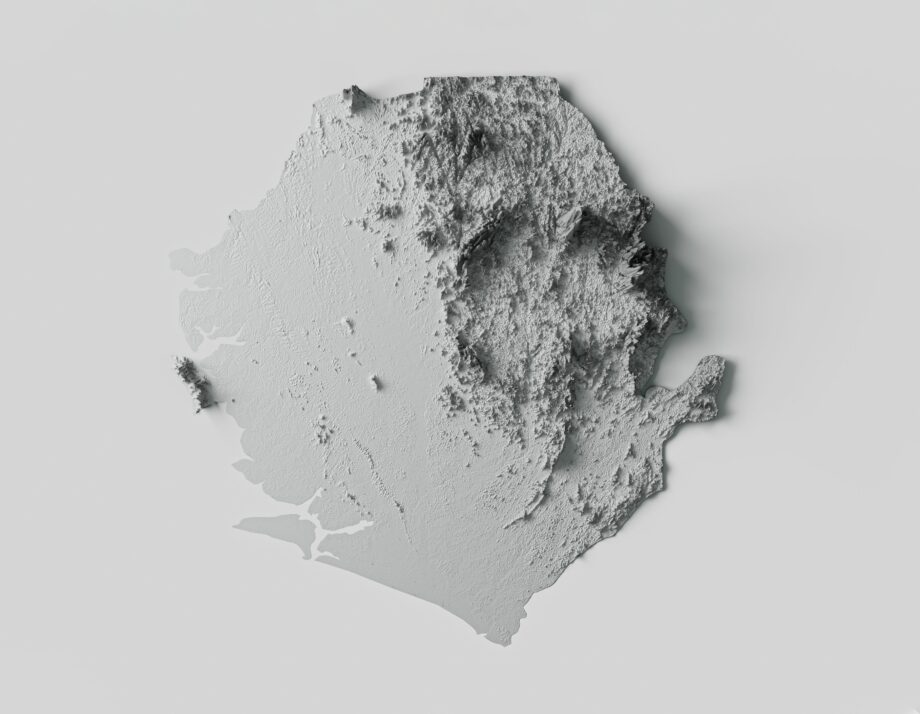
Shaded relief maps are topographical maps that use a combination of light and shadow to represent the three-dimensional surface of the earth. These maps are an essential tool for geographers, cartographers, and anyone who wants to understand the landscape of a particular area. Given this, you may want to learn more about these types of maps. To help you out, we’ll be discussing what shaded relief maps are, how they work, and why they are important.
What are Shaded Relief Maps?
Shaded relief maps are topographical maps that use a combination of light and shadow to represent the three-dimensional surface of the earth. These maps are created with digital elevation data to calculate the angle and direction of the sun’s rays on the surface of the earth. By using this information, the mapmaker can create a 3D representation of the landscape that accurately reflects the topography of the area.
How Do Shaded Relief Maps Work?
Shaded relief maps work by using a combination of light and shadow to represent the three-dimensional surface of the earth. The mapmaker first creates a digital elevation model of the area they want to map. This model is created via data from satellites, airplanes, or ground-based surveys. The elevation model is then used to create a shading layer that simulates the angle and direction of the sun’s rays on the surface of the earth. The shading layer is then combined with the elevation model to create the final shaded relief map.
Why Are Shaded Relief Maps Important?
This information found on these maps is essential for a wide range of applications, including land use planning, natural resource management, and emergency response planning. For example, a shaded relief map can be used to identify areas of steep terrain that may be prone to landslides, or to determine the best route for a hiking trail. Shaded relief maps are also used by scientists to study the earth’s surface and to develop models of how the landscape has changed over time.
How Do You Read Shaded Relief Maps?
Reading a shaded relief map may seem daunting at first, but with a little practice, it becomes straightforward. The key to reading a shaded relief map is to understand the relationship between light and shadow. Areas that are illuminated by the sun are represented by light colors, while areas that are in shadow are represented by darker colors. The direction of the light source is usually indicated by an arrow on the map, which can help you orient yourself.
When reading a shaded relief map, it’s essential to pay attention to the contour lines. Contour lines are lines that connect points of equal elevation on the map. These lines can help you understand the shape of the landscape and identify areas of steep terrain. In general, the closer the contour lines are together, the steeper the terrain.
Conclusion
By understanding how shaded relief maps work and how to read them, you can gain a better understanding of the world around you. While these maps may seem complicated at first, the information that we’ve laid out here should help you understand them better.
Maps of Iceland provides a wide range of map prints and framed map posters featuring different maps of Iceland. With free worldwide shipping, it’s never been easier to discover the world’s natural wonders. Don’t miss out on this opportunity to explore Iceland’s fascinating geology! Browse our selection of maps and start your adventure today!

